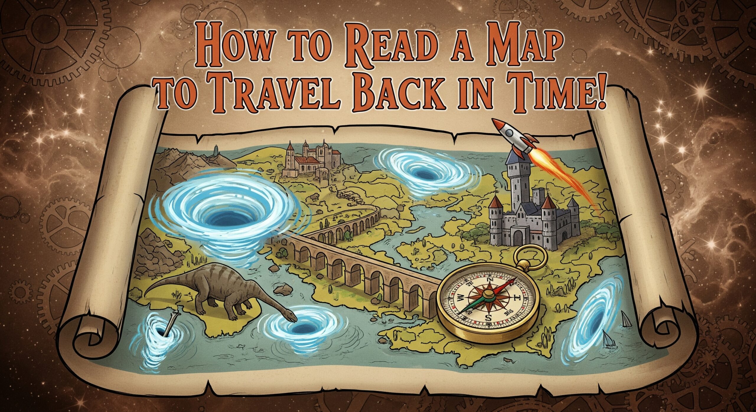
How to Read a Map to Travel Back in Time!
Have you ever looked at an old map and wondered how cities, borders, and even country names have changed over time? Maps are like time machines—they capture a snapshot of the world as it once was. By learning how to analyze an old map, you can unlock secrets about history, politics, and even culture.
In this blog, we’ll explore how to read a historical map by breaking down its key components—title, legend, date, and symbols—using an old map of India as a case study. By the end, you’ll be able to “travel back in time” just by interpreting maps!
Why Old Maps Matter
Before we dive into map-reading, let’s understand why old maps are so fascinating:
- They show shifting borders – Countries expand, shrink, or disappear entirely.
- They reveal forgotten cities – Some cities were once major trade hubs but are now small towns.
- They reflect political changes – Colonialism, wars, and treaties reshape maps over time.
For example, a map of India from 1946 (before independence) looks very different from one made in 2024. By comparing them, we can trace India’s journey from British rule to a modern nation.
Step 1: Start with the Title – What’s the Map About?
Every map has a title, usually at the top. This tells you its purpose:
- Is it a political map (showing borders)?
- A topographical map (showing mountains, rivers)?
- Or a trade route map?
Case Study: A 1909 Map of British India
If the title says “British India and Surrounding Countries,” we know:
- India was under British rule.
- It includes regions like Burma (now Myanmar), which was part of British India then but isn’t today.
Activity: Find an old map online (try the David Rumsey Map Collection) and note how the title gives clues about the era.
Step 2: Check the Date – When Was the Map Made?
The date is crucial because borders and place names change over time.
Example:
- A pre-1947 map will show undivided India (including Pakistan and Bangladesh).
- A post-1947 map will show India, Pakistan, and (after 1971) Bangladesh as separate.
Fun Fact:
- Calcutta (old spelling) is now Kolkata.
- Bombay is now Mumbai.
- Madras is now Chennai.
Activity: Compare a 1940s map with a modern one—how many city names can you spot that have changed?
Step 3: Study the Legend (Key) – What Do Symbols Mean?
The legend explains symbols, colors, and lines on the map. Common symbols include:
- Dotted lines = Disputed or changing borders
- Red shading = British-controlled areas
- Railway lines = Trains (shows how travel networks expanded)
Case Study: Railways in 1900 vs. Today
An old map might show fewer railway lines, indicating slower travel. Today’s map has dense networks, showing progress.
Step 4: Observe Borders – How Have They Changed?
Old maps reveal fascinating border shifts:
- Before 1947: One large “India” under British rule.
- 1947: Partition creates India and Pakistan.
- 1971: Bangladesh emerges after a war.
Activity:
Find a 1946 map and a 2024 map of South Asia. Note:
- Which regions were part of India then but aren’t now?
- How did the Himalayas or coastline remain the same?
Step 5: Look for “Lost” Cities and Trade Routes
Some cities were once major centers but faded over time:
- Muziris (Kerala): An ancient port city lost to history.
- Hampi (Vijayanagara Empire): A ruined city that was once thriving.
Activity: Search for old trade routes (like the Silk Road) on historical maps—how did they shape modern cities?
Conclusion: Become a Map Detective!
Reading old maps is like solving a historical puzzle. By examining the title, date, legend, and borders, you can uncover how the world looked centuries ago.
Next Steps:
- Visit digital archives like David Rumsey Map Collection or OldMapsOnline.
- Compare two maps from different eras—what changes surprise you?
- Try redrawing an old map with modern borders to see the differences.
Maps don’t just tell us where to go—they show us where we’ve been. So grab an old map, put on your detective hat, and start traveling through time!
Did You Know?
The oldest surviving map of India is the “Tabula Rogeriana” (1154), made by an Arab geographer. It shows India as a triangular landmass—proving how much cartography has evolved!
Now it’s your turn—what historical mysteries will you uncover with old maps?